
Spatial Business Intelligence

Spatial Business Intelligence for Better Decisions
Visualize business, demographic, route, and location data in a spatial context so your team can analyze what matters and act with confidence.
Location intelligence, made practical
Turn location-based data into business insight
PrimeThought's suite of SpatialBI products help organizations turn location-based business data into practical insight. Use maps, routes, territories, demographic layers, and business records together to understand where opportunities, risks, and operational patterns exist.
- Visualize
- Analyze
- Plan
- Communicate
One connected product suite
SpatialBI Products
Explore the tools that support mapping, routing, geocoding, spatial analytics, data presentation, and business decision-making.

A connected workflow
From data to decision
Use each product independently or connect them into a practical location intelligence workflow.
- 01
Locate
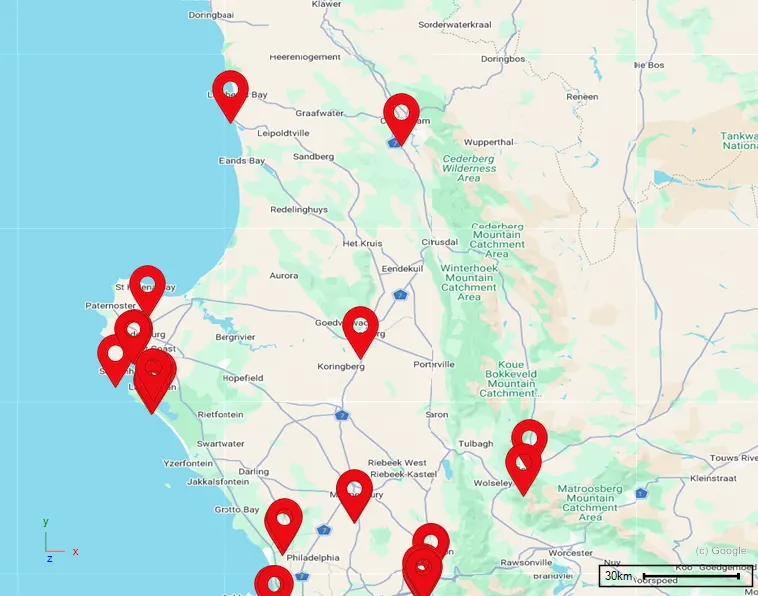
LocateXLTurn real-world addresses into accurate, analysis-ready locations.
- 02
Understand
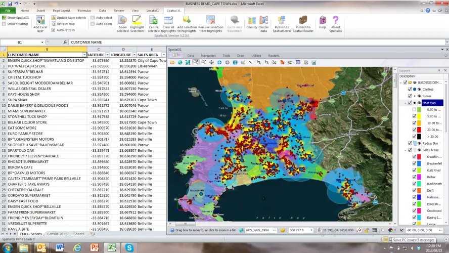
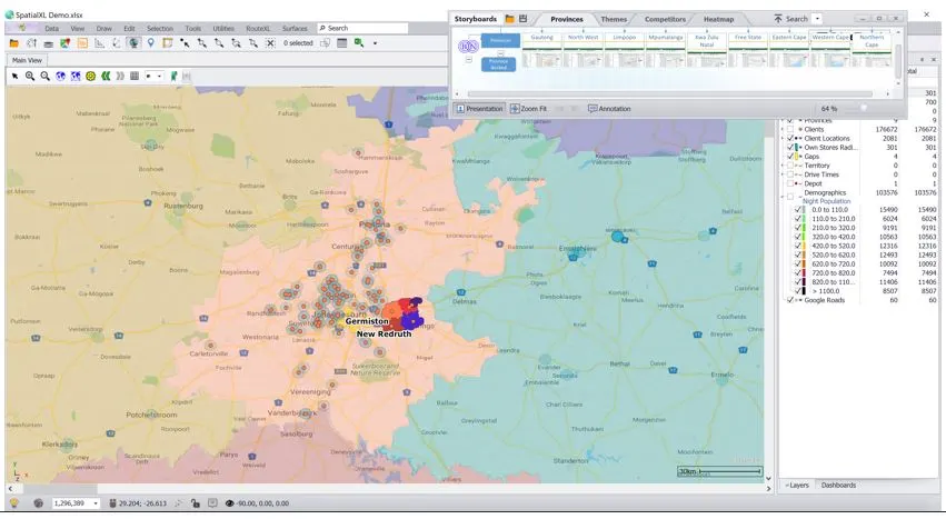
SpatialXLMap business records and reveal the patterns behind performance.
- 03
Plan
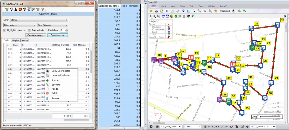
RouteXLOptimize routes, drive times, service areas, and territories.
- 04
Communicate
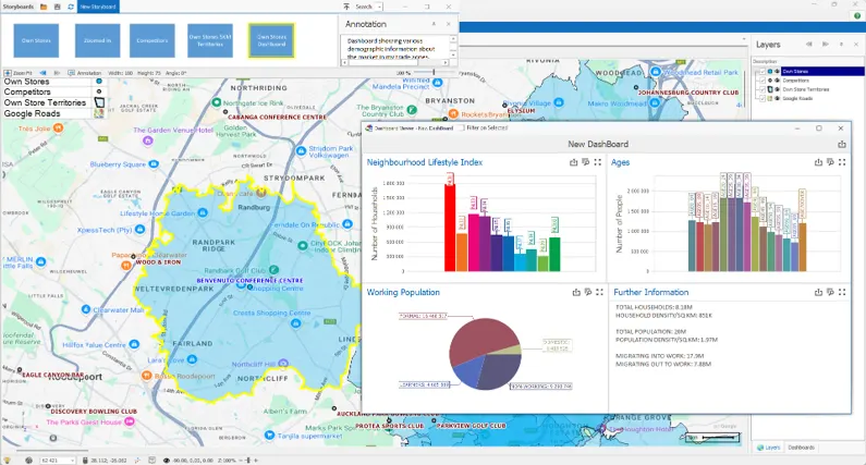
GeoScope + Spatial StoryboardShare secure spatial views and compelling data stories.
- 05
Predict
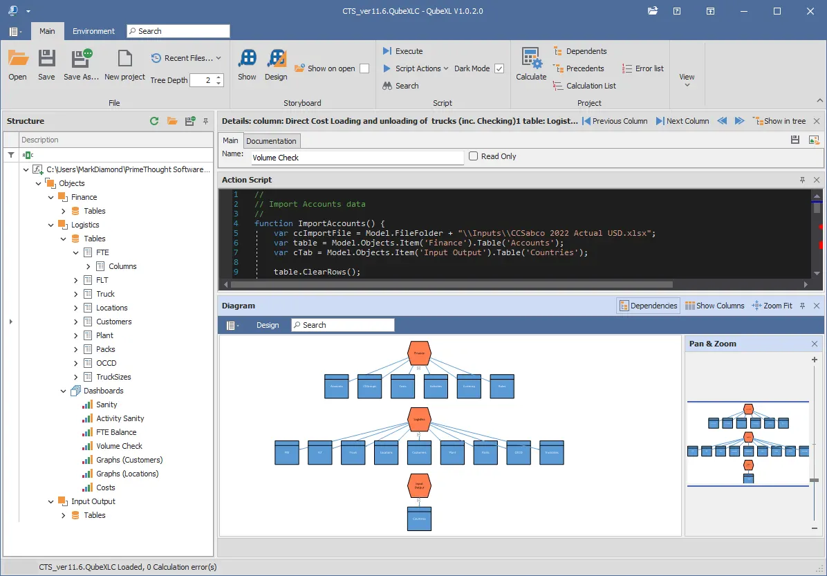
SpatialAL + QubeXLApply machine learning and model scenarios for stronger decisions.
Easy to start, powerful as you grow
Build confidence in days—not months
Our cost-effective, user-friendly solutions are designed for both first-time spatial users and experienced professionals. Instead of requiring months of specialist training, they meet you at your current level and grow with your understanding.
Get up and running
Learn the essentials quickly and begin working with your own business data.
Work with confidence
Build fluency across mapping, analysis, routing, and presentation workflows.
Unlock advanced capability
As your skills develop, use sophisticated spatial tools faster and more productively.
Visualize, analyze, act
See spatial business intelligence in action
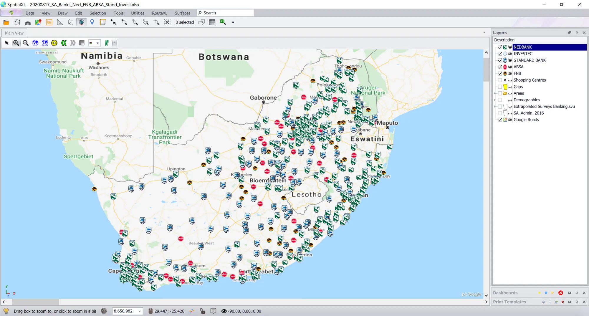
Explore examples of customer mapping, demographic analysis, dashboards, routing, and operational planning created with spatial tools.
Designed for real-world work
Built for practical business decisions
Move from raw business records to a shared view of customers, markets, operations, and opportunity.
Market and customer analysis
See where customers live, how markets differ, and where demand is concentrated.
Route and territory planning
Balance service areas, reduce travel time, and improve field efficiency.
Site selection and expansion
Compare candidate locations using customers, competitors, access, and local context.
Demographic intelligence
Enrich internal records with population, affluence, land-use, and development data.
Gap and opportunity discovery
Identify underserved areas, whitespace, and opportunities hidden in tabular reports.
Reporting and presentation
Turn complex analysis into clear spatial views stakeholders can understand and act on.
Data for better decisions
Demographics data and other datasets
Combine trusted demographic and location datasets with your own business data to build a clearer picture of customers, communities, markets, and development activity.
- Age and population profiles
- Population density
- Affluence and socioeconomic indexes
- Land-use information
- New developments
- Specialist location datasets
Availability and geographic coverage vary by data partner. Our team can help identify the most appropriate data for your analysis.
Ask us about available datasets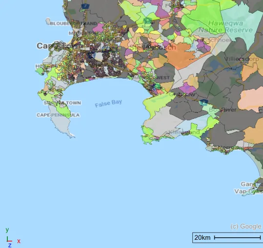
Trusted by professionals
What our clients say
Real experiences from teams using SpatialBI products to turn complex information into practical results.
We are successfully able to use LocateXL at our company! We are able to geocode our client database at any given time and it returns a high percentage accuracy which enables us to update downstream processes, enhance data, reporting, dashboarding and makes room for more analysis.
SpatialXL is easy to use and navigate. It is much better than the previous product we were using. It is mind-blowing for me that you can create your own polygons and import from Excel! The training was efficient and informative, all my questions were answered during the training and after only two days of training we were done and I am successfully able to use this product!
The functionality that stands out the most for me with RouteXL is the ability to map out routes successfully and how close to actuality the maps are! The user interface is friendly, and I can 100 percent successfully use RouteXL!
A clearer point of view
Why spatial context matters
Rows and columns become more useful when customers, assets, routes, and opportunities are placed in their geographic context.
See patterns faster
Turn complex datasets into an understandable geographic picture.
Compare markets visually
Evaluate areas and opportunities using the same shared context.
Make decisions with confidence
Support planning with evidence your whole team can clearly see.
Turn tables into insight
Connect rows and columns to the places and people they represent.
Start a conversation
Ready to see your business data spatially?
Get in touch to discuss how SpatialBI can help your team visualize, analyze, and act on location-based business data.